


Associated People (1) |
|
The dates listed below have different categories as denoted by the letters in the brackets following each date. Here is a key to explain those letter codes:
|
|
- 1779 [EY] → Owner
|
Notes |
|
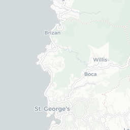
An estate in Grenada in the quartier du Megrin and the parish of St. David, identified as lot 25 in Daniel Paterson's Topographical Description of the Island of Grenada (1780). Not yet identified in the slave registers or compensation records. |
Estate Information (2) |
|
1763
[Name] [no name given]
[Size] 95 [Crop] sugar In 1763, the estate was 94.5 acres, of which 70 was under cultivation. The estate was growing sugarcane. Proprietors given as Birot and la Dame de Larnage.
'A topographical description of the Island of Grenada; surveyed by Monsieur Pinel in 1763... with the addition of English names, alterations of property, and other improvements to the present time' (1780), British Library Maps K. Top.123.112.b-e
|
|
1782
[Name] [no name given]
[Size] 302 [Crop] sugar In 1780-1782, the estate comprised 302 acres, cultivating sugarcane with a watermill. Proprietor given as William Snell, Esq.
'A topographical description of the Island of Grenada; surveyed by Monsieur Pinel in 1763... with the addition of English names, alterations of property, and other improvements to the present time' (1780), British Library Maps K. Top.123.112.b-e
|
1729 - 1809
Quaker merchant and banker, abolitionist who manumitted enslaved people in Jamaica

Document comprises 4 parts, written recto and verso across 5 folios: 1. An inventory and valuation of enslaved persons at Windsor Estate, St Elizabeth parish, Jamaica, 1814. 2. An inventory and valuation of enslaved persons at Williamsfield settlement, St Elisabeth parish, Jamaica, 1814. 3. An inventory of animals at Windsor Estate, St Elizabeth parish, Jamaica, 1814. 4. A cover note outlining the contents of the document.
© Copyright Legacies of British Slavery - UCL Department of History 2025
CITING THIS RECORD:
'Lot 25, St David [ Grenada | St David ]', Legacies of British Slavery database, http://wwwdepts-live.ucl.ac.uk/lbs/estate/view/18229 [accessed 26th April 2025].
