


Associated People (1) |
|
The dates listed below have different categories as denoted by the letters in the brackets following each date. Here is a key to explain those letter codes:
|
|
1780 [EA] - → Owner
|
Notes |
|
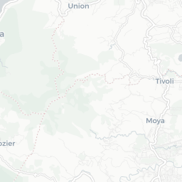
An estate in Grenada in the quartier des Sauteurs and the parish of St. Patrick, identified as lot 44 in Daniel Paterson's Topographical Description of the Island of Grenada (1780). Not yet identified in the slave registers or compensation records. |
Estate Information (2) |
|
1763
[Name] [no name given]
[Size] 25 [Crop] coffee In 1763, the estate was 25 acres, of which 20 was under cultivation. The estate was growing coffee. Proprietor given as the heirs of La Coste Guerin.
'A topographical description of the Island of Grenada; surveyed by Monsieur Pinel in 1763... with the addition of English names, alterations of property, and other improvements to the present time' (1780), British Library Maps K. Top.123.112.b-e
|
|
1782
[Name] [no name given]
[Size] 80 [Crop] coffee or cocoa In 1780-1782, the estate comprised 80 acres, growing coffee or cocoa. Proprietor given as James Baillie, Esq.
'A topographical description of the Island of Grenada; surveyed by Monsieur Pinel in 1763... with the addition of English names, alterations of property, and other improvements to the present time' (1780), British Library Maps K. Top.123.112.b-e
|
27th Nov 1782 - 8th Dec 1862
Wesleyan Minister, apparently sought to manumit his enslaved people for religious reasons

Document comprises 4 parts, written recto and verso across 5 folios: 1. An inventory and valuation of enslaved persons at Windsor Estate, St Elizabeth parish, Jamaica, 1814. 2. An inventory and valuation of enslaved persons at Williamsfield settlement, St Elisabeth parish, Jamaica, 1814. 3. An inventory of animals at Windsor Estate, St Elizabeth parish, Jamaica, 1814. 4. A cover note outlining the contents of the document.
© Copyright Legacies of British Slavery - UCL Department of History 2025
CITING THIS RECORD:
'Lot 44, St Patrick [ Grenada | St Patrick ]', Legacies of British Slavery database, http://wwwdepts-live.ucl.ac.uk/lbs/estate/view/18345 [accessed 16th April 2025].
